
A laser methane detector can check a target across a walkway, watch a defined beam path, scan several points from a fixed mount, or travel on a UAV. Those are four different inspection jobs. Choosing between them begins with the route and the result you need, rather than the longest detection distance in a catalogue.
First, map the methane inspection route
Before selecting a model, mark the assets that must be checked and how an operator will reach or see them. A technician inspecting meter sets and elevated pipework needs a different arrangement from an engineer watching a fixed span at a gas facility. A UAV route introduces its own payload, flight and data questions. If the target cannot be seen from the planned position, a line-of-sight laser approach may leave a gap even when its stated distance is ample.
| Question to answer | Why it changes the choice | Record in the enquiry |
|---|---|---|
| Does a person visit each target? | Walking checks favour a handheld format. | Route length, target height and reachable viewpoints |
| Must one span be watched continuously? | A fixed transmitter–reflector beam can cover a defined line. | Beam endpoints, length, obstructions and controller input |
| Are several points visible from one fixed mount? | A PTZ scanner can revisit programmed views. | Mounting position, scan points, revisit needs and camera view |
| Is the asset spread out or hard to reach from the ground? | A UAV payload may help screen a planned route. | Aircraft, payload interface, flight route and follow-up crew |
State the expected deliverable as well. A methane indication along a beam is useful for screening and alarm decisions; a component-level repair location needs further work. Concentration at a point (ppm), a combustible-gas reading (%LEL), path-integrated methane (ppm·m) and an emission rate (g/h or kg/h) are not interchangeable. The ITRC technology framework separates result type, detection range, deployment method and environmental limitations for precisely this reason.
Four laser methane detection arrangements
Handheld remote checks: G6000Z, G6000AS and G6000A
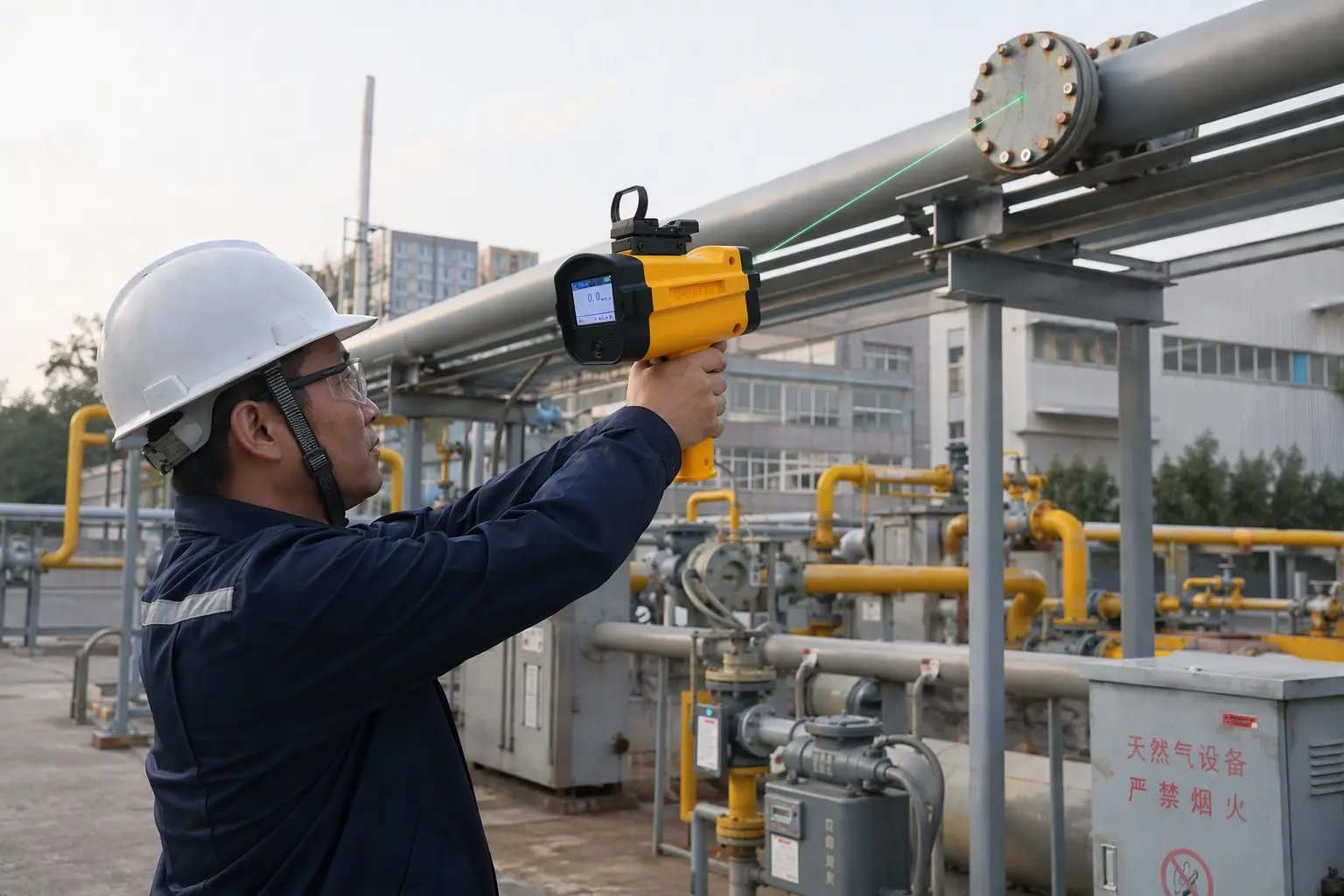
The three handheld formats serve a walking inspection route. The compact G6000Z is listed for remote checks up to 50 m; the flashlight-style G6000AS is listed up to 100 m; and the G6000A specification gives 0–100 m as its default distance, with customization available. These are product-page figures, not a guarantee that a leak of any size will be detected at the endpoint. The beam needs a usable view of the target, and the operator must sweep the intended surfaces rather than simply aim once at the structure.
A handheld laser helps inspect a visible valve, elevated connection or other area where taking a point sample would be awkward. It can flag a methane signal somewhere along the optical path. The inspection record should identify the viewpoint, target, reading and route so another worker can return to narrow the source. Compare the three formats on handling, display, data options, distance and the actual route, not a distance number in isolation.
Fixed open path: XT-G6000B
The XT-G6000B uses a laser transceiver and reflector to measure across a defined span. Its product specification lists CH4, an optional 0–5000 ppm·m measuring range and effective distances of 0–100 m or 0–200 m by configuration. It offers a 4–20 mA output and a distinct low-current indication when the beam is blocked or too weak. That obstruction state matters: a blocked optical path should not be treated as a gas-clear reading.
This arrangement fits a location where the intended monitoring line can remain aligned and unobstructed. It observes the beam, not every point on either side of it. During design, check the endpoints, physical access for alignment and maintenance, likely obstructions and the receiving control system. A person still needs a plan to locate the source after an alarm.
Fixed scanning: XT-G6000C PTZ
One fixed mount can also inspect a series of selected views. The XT-G6000C combines laser methane measurement, PTZ scanning and synchronized video. Its published specification lists a 0–100 m detection distance, with 0–150 m as an optional configuration, and an optional range around 0–5000 ppm·m. The value of this format is the repeatable patrol route: the operator can review which programmed view produced a signal and inspect the associated video.
PTZ scanning is not the same as an unbroken beam across every view at once. Ask how many points must be visited, how often, whether the mount can see each target and what happens if a view is obscured. The camera assists review; it does not convert a path-integrated reading into a leak rate.
UAV laser payloads and aerial inspection
The S350-W2 is a laser methane module for UAV integration. Its page lists TDLAS, methane as the target gas, a 1–100 m detection distance and flight-track and alarm-location records. Otywell also lists a UAV-based laser methane detector as an assembled inspection format. A module enquiry therefore needs the aircraft model, payload interface and data requirements; a complete system enquiry needs the route, flight conditions, reporting workflow and ground follow-up.
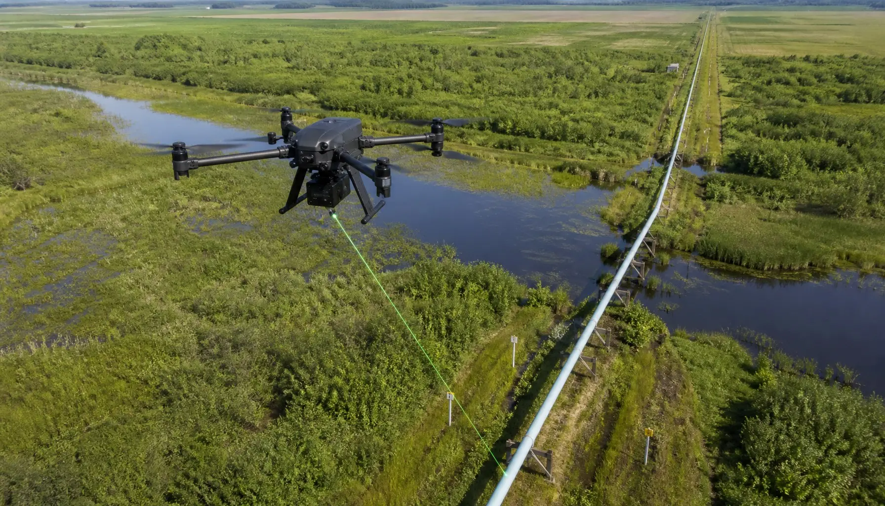
Aerial screening can cover assets that are hard to approach on foot, but each flight still samples a route under particular weather, altitude and viewing conditions. An alarm coordinate is a place to investigate, not necessarily the exact leaking fitting. The IOGP approach treats wide-area detection and source-level investigation as complementary parts of a monitoring programme.
| Otywell format | What it measures or records | Best-fit task | Design question |
|---|---|---|---|
| G6000Z / G6000AS / G6000A | Remote methane indication along the aimed path | Walking inspection of visible targets | Can the operator see and systematically scan each target? |
| XT-G6000B | Open-path methane reading and beam-status signal | Continuous monitoring of one defined span | Will the transceiver–reflector path remain aligned and clear? |
| XT-G6000C | Readings from a programmed PTZ patrol and synchronized video | Repeat checks of several visible points | Which views and revisit sequence are required? |
| S350-W2 / UAV-based system | Airborne methane flags and route/location data | Planned survey of dispersed or hard-to-access assets | How will the aircraft, payload and ground confirmation work together? |
Match the format to the asset
Meter sets, valve groups and elevated pipework
For a technician who follows a defined walking route, start with the visible target list. A handheld remote detector can check components that are awkward to sample directly from an appropriate viewpoint. Record a suspect path, then narrow the location using the site’s closer investigation method. A larger nominal range does not replace a clear view of the actual connection.
Gas stations and industrial compounds
Where a particular boundary or equipment span needs ongoing observation, examine whether a fixed open-path XT-G6000B can be aligned across it. Where one installation point has clear views of several separated assets, compare the PTZ patrol of the XT-G6000C. The choice turns on geometry and monitoring cadence: a beam across one span and a scanner revisiting several points generate different coverage. Document the gaps that neither optical arrangement sees.
Pipeline corridors and remote installations
A ground crew with handheld equipment is well suited to targeted follow-up. For a long or difficult route, a UAV-mounted laser can first identify areas needing attention. The flight plan should identify the corridor, viewing geometry, expected recording output and who receives an alarm. Follow-up may require a different inspection position or a close-range instrument. The US DOE-NETL guidance notes that instrument choice and environmental conditions affect the detectability of methane signals; the route must be designed for actual conditions, not a laboratory headline number.
Otywell laser methane equipment
These four products represent different deployment formats. The full family also includes the G6000Z, G6000AS and a UAV-based detector; choose the format against the route before comparing optional ranges or data functions.
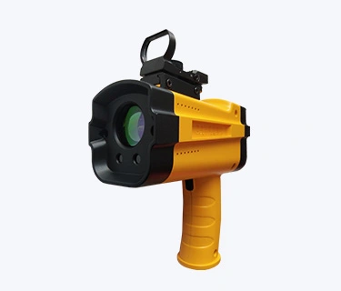
G6000A
Remote methane checks from a walking inspection position, with a display and alarm records. Default listed distance: 0–100 m.
View G6000A →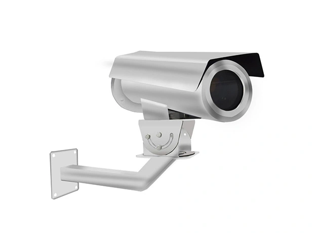
XT-G6000B
Transceiver-and-reflector monitoring across a defined span, with 4–20 mA output and a beam-obstruction state.
View XT-G6000B →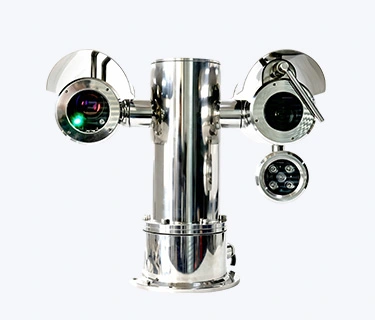
XT-G6000C
Programmed laser scanning of visible points with synchronized camera information for alarm review.
View XT-G6000C →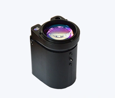
S350-W2
TDLAS methane module for an aerial route, with flight-track and alarm-location recording functions.
View S350-W2 →The laser methane detector range also lists the other handheld and UAV formats. Each product enquiry should specify the exact model, configuration and intended inspection task.
What to specify before requesting a quotation
Distance is only one line on the equipment schedule. The optical path needs a target and a usable viewpoint. An open-path unit needs mounting, alignment and a control-system response to beam faults. A PTZ unit needs a patrol list and a revisit pattern. A UAV module needs aircraft compatibility and a ground investigation workflow. Ask for the measurement range and output units of the exact configuration, not just the model family.
| Requirement | Details to provide | Check before acceptance |
|---|---|---|
| Inspection geometry | Target map, viewpoints, span or flight route | Each intended target is actually visible or covered |
| Gas reading | CH4 target, expected range, ppm·m output and alarm needs | Configuration and units match the work order |
| Installation or carriage | Mount, reflector, power, controller, aircraft and payload interface | Obstruction and communication states are handled |
| Environment | Temperature, weather, dust, vibration and access | Quoted ratings apply to the chosen version |
| Data and follow-up | Records, locations, video, reporting and repair handoff | A positive finding can be revisited and closed |
| Destination | Project country and required certificates | Actual certificate matches the supplied configuration |
Do not interpret a listed explosion-protection mark as automatic approval in every destination market. Obtain the applicable certificate for the proposed configuration. Likewise, detection range and sensitivity figures on different pages may be specified under different conditions; request the test conditions if comparing models closely.
Turn a laser alert into a closed finding
Mark the route or programmed view, timestamp, reading and environmental conditions. Revisit the flagged area from another useful angle, then use the site’s close-range localization procedure to identify the source. Record the component and repair action. Repeat the appropriate check after repair and retain the result with the original alarm. This sequence prevents a broad optical indication from being mistaken for a finished leak investigation.
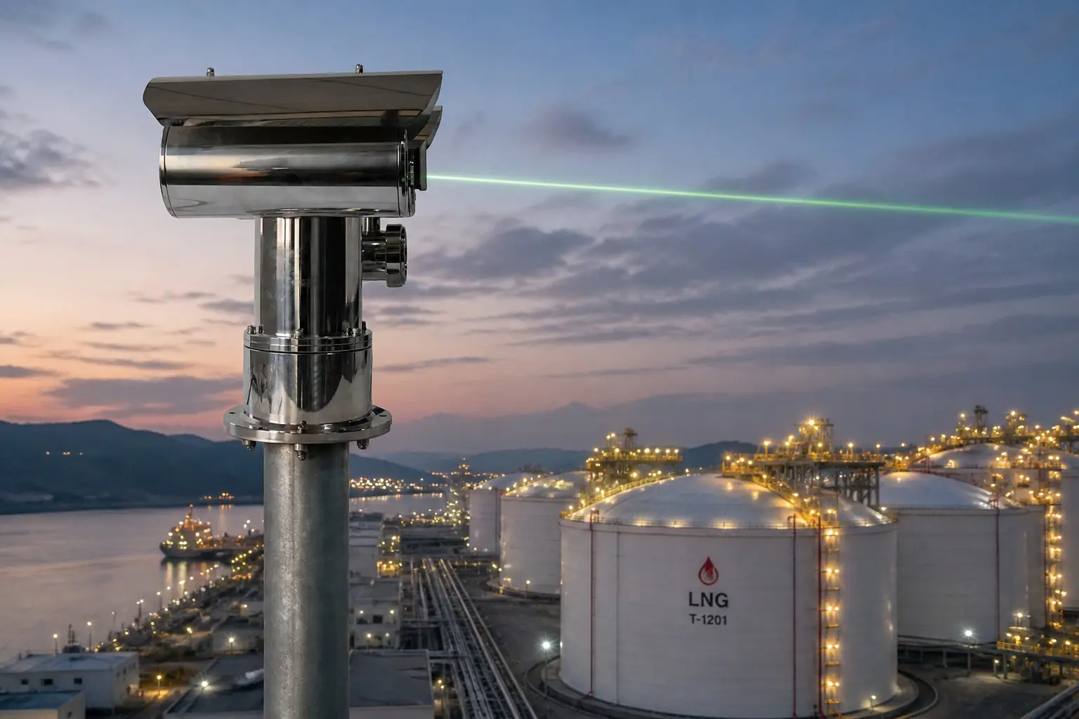
When an emissions report is required, add a dedicated quantification method. The DOE-NETL measurement guidance distinguishes screening and visualization from methods intended to produce emission-rate estimates. Keep the detection record and the quantification result labeled with their own methods and uncertainty.
Plan a laser methane inspection system
Share the target map, distances, accessible viewpoints, inspection route, required alarm or report, site conditions and destination country. Otywell can then match a handheld, open-path, PTZ or UAV configuration to the work and identify what remains for on-site confirmation.
Frequently asked questions
Which Otywell laser methane detector fits a walking route?
Compare the G6000Z, G6000AS and G6000A against the targets, viewpoints, handling and record needs. Their listed distances differ, but a clear optical path and a repeatable inspection pattern matter just as much.
What is the difference between XT-G6000B and XT-G6000C?
XT-G6000B watches a defined transceiver–reflector span. XT-G6000C uses a PTZ mount to revisit programmed visible points and pairs readings with video. The coverage geometry and monitoring cadence are different.
Can a laser detector identify the exact leaking flange?
A path-integrated signal can narrow the search area. The crew may need another viewpoint and a closer check before assigning the leak to a particular component.
Is ppm·m the same as ppm or kg/h?
No. ppm·m describes concentration integrated along an optical path; ppm is a point concentration; kg/h is an emission rate. They are different measurements and cannot be substituted without a validated method.
Does a blocked XT-G6000B beam mean there is no methane?
No. The model lists a separate low-current indication for beam obstruction or a weak signal. The connected system must treat that state as a fault or obstruction according to its design, not as a gas-clear result.
Is the S350-W2 a complete UAV inspection system?
S350-W2 is a UAV laser methane module. Confirm the aircraft, mounting, power, data interface and reporting workflow. Otywell also lists a UAV-based detector format; specify which scope is needed.
What should a buyer send for an accurate quotation?
Provide the site and route map, target distances, visible surfaces, number of scan points or flight segments, desired records and alarms, environment, controller or aircraft interface, quantities and destination certification requirements.